

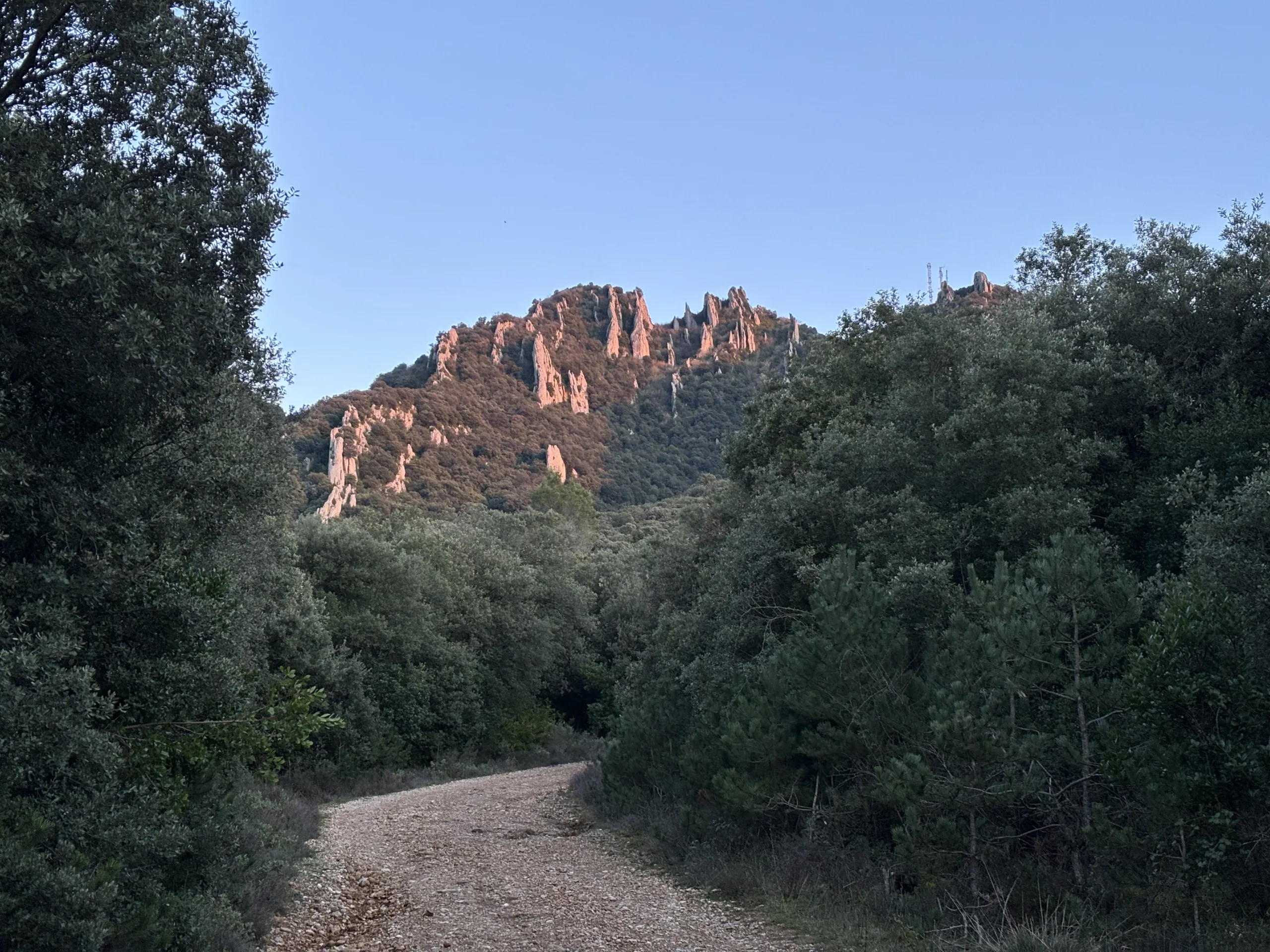

Understanding the natural hydrogen potential of the Spanish Pyrenees
The Aralar exploration permits
What is an exploration permit ?
An Exploration Permit is an authorization provided for under Spanish Law 22/1973 of 21 July on Mines (Ley de Minas). It allows its holder to carry out studies and reconnaissance activities within a defined area, using techniques that do not substantially alter the configuration of the land. It is granted for a period of one year and may be extended for a maximum of one additional year.
Its legal framework is further defined by Royal Decree 2857/1978 of 25 August, which approves the General Regulations for the Mining Regime and sets out the conditions applicable to exploration permits.
An Exploration Permit is neither an Investigation Permit nor an authorization for exploitation. Spanish mining law distinguishes between these different stages: investigation activities require a specific permit, while the exploitation of Section C resources requires an exploitation concession.
- Upstream water supply
- Mantle kitchen reactor
- Active natural serpentinization
- Migration to reservoirs
- H2 reservoirs
- Surface leaks
- Infrastructure & offtakes
- Production drillhole

Aralar was born from several years of research by Mantle8’s teams across the Pyrenees, aimed at better understanding how their distinctive geological history can support the natural generation of hydrogen. By studying deep tectonic processes and the role of mantle rocks, our scientists identified the Pyrenees as an area with particularly interesting geological potential.
Today, Aralar brings this knowledge to life in the Spanish Pyrenees area.
The Aralar area presents a particularly interesting geological setting for natural hydrogen exploration. Located in the Spanish Pyrenees, it shares certain geological characteristics with the Comminges area in the French Pyrenees, where Mantle8 is developing the Hydrogeco project.
Knowledge gained in the Comminges helped identify Aralar as a promising area for studying natural hydrogen generation and migration processes.
The Aralar exploration permits govern research activities aimed at assessing and improving our understanding of the area’s natural hydrogen potential.
The exploration activities rely on non-invasive geological, geochemical and geophysical methods, including field observations, targeted sampling and passive geophysical measurements, combined with data processing and modelling.
No drilling or extraction activities are authorized under the current exploration permits
The Aralar exploration permits were granted on 5 June 2026.
Permits area
Located on the southern side of the Pyrenees, the Aralar area extends across a predominantly rural and mountainous territory.
The Aralar I and Aralar II exploration permits cover approximately 1,680 km² across Navarra and the Basque Country.
Together, the two permits span 64 municipalities across 2 autonomous communities and 3 provinces or historical territories, alongside several traditional communal entities, including mancomunidades, facerías, parzonerías and communal mountain lands.
Science as the foundation
Mantle8 relies on a rigorous scientific approach, grounded in recognized methodologies and the analysis of measured data.
This approach is notably supported by collaborations with several academic and research institutions, contributing to the scientific robustness and quality of the work carried out.

The method
Field activities only begin once the necessary authorizations and the approval of the relevant municipalities or landowners have been obtained.

Geological and geophysical
data reprocessing
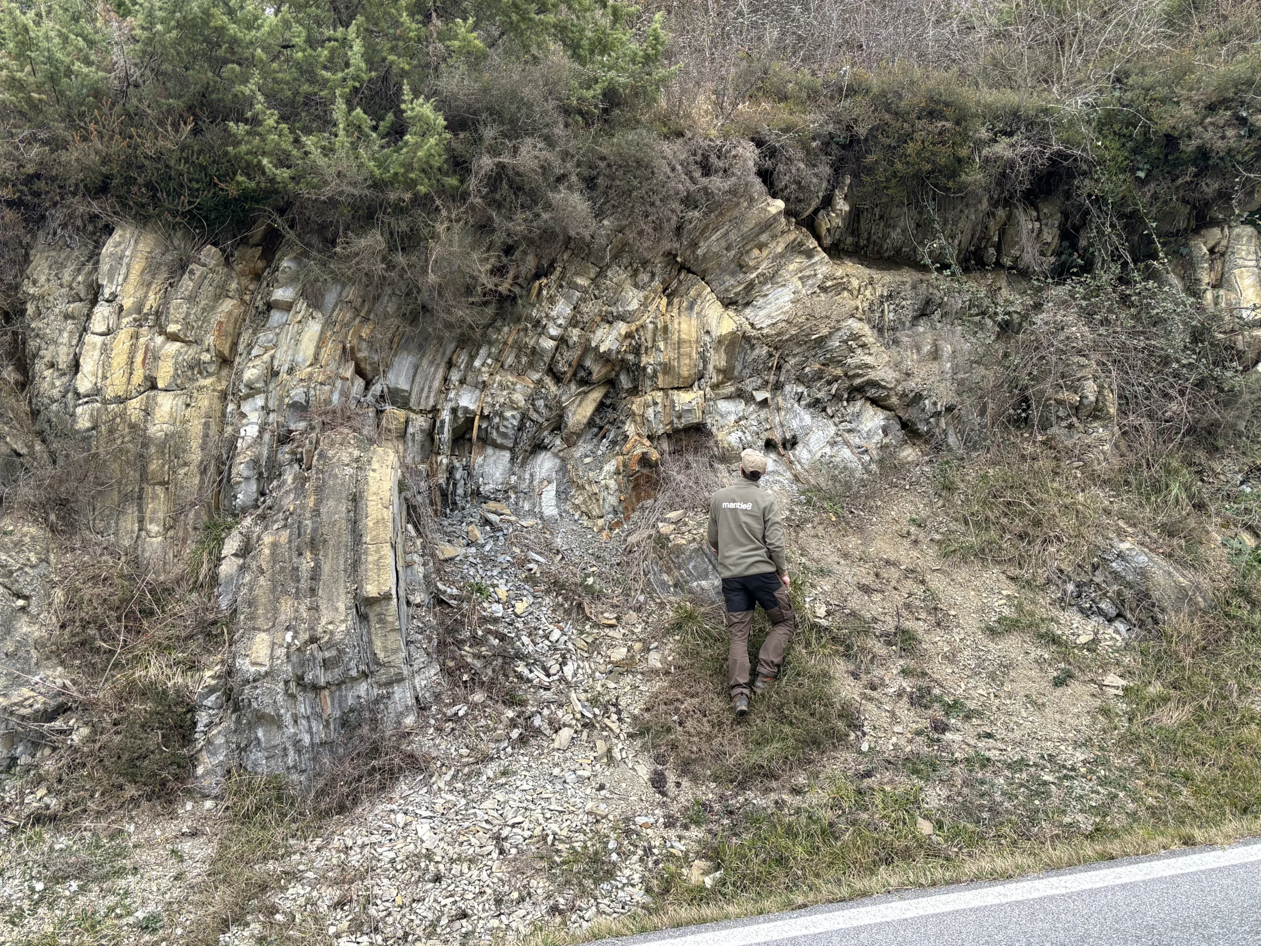
Field geological observations
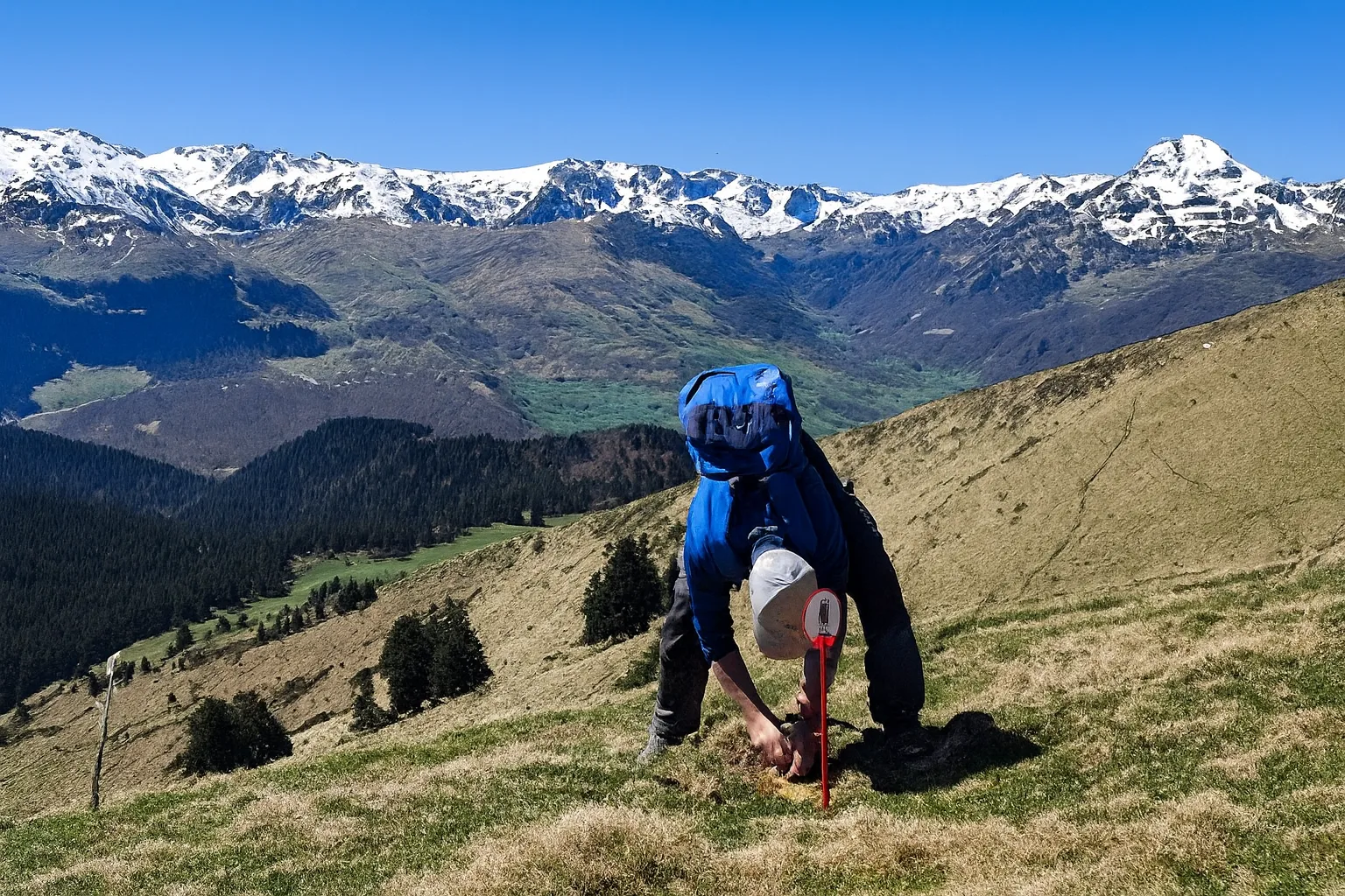
Passive geophysical data acquisition

Data processing and 4D geophysical modeling
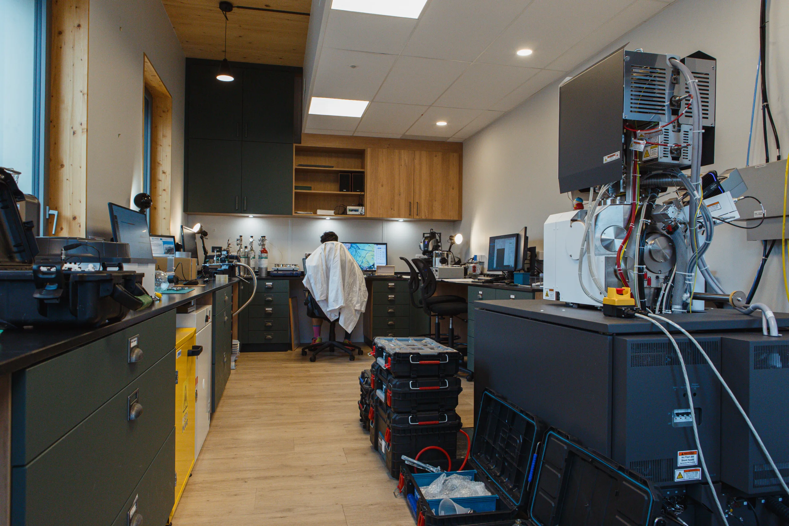
Laboratory analysis
Technical and environmental studies
What is natural hydrogen ?
Natural hydrogen is a gas that occurs naturally in the subsurface, produced by geological processes.
It is currently the subject of scientific research aimed at better understanding its origin, as well as its formation and migration mechanisms.
Is natural hydrogen a low-carbon and strategic energy source ?
Natural hydrogen presents a significant decarbonization potential since it can replace grey hydrogen, which is highly carbon-intensive (mainly produced from methane) and widely used in heavy industries such as refining, metallurgy, and fertilizers production.
Its development could also helps strengthen energy independence by harnessing a local resource produced within the national territory.
What will happen on the ground during the current exploration phase ?
During the current exploration phase, small teams of geologists and geophysicists will work at selected locations across the Aralar area. Their activities will include geological field observations, targeted rock, water and soil-gas sampling, and the deployment of passive sensors to collect geophysical data.
How will local communities be informed and involved throughout the project
Mantle8 engages directly with municipalities and local stakeholders before and during field activities to explain the work being carried out, answer questions and listen to concerns as well as local knowledge of the area.
Information will be shared as the project progresses, with the aim of maintaining regular, transparent and accessible dialogue with local stakeholders.
Can exploration activities affect the environment and protected areas in Aralar ?
The activities currently planned rely on non-invasive methods. No new access roads, permanent infrastructure or heavy machinery are planned.
Activities are carried out in accordance with the regulations applicable to the natural areas concerned. Environmental sensitivities and existing land uses are taken into account when selecting the areas where work is carried out.
Does the Aralar project involve drilling, fracking or extraction ?
No. The Aralar I and Aralar II exploration permits do not currently authorize drilling, hydraulic fracturing, chemical stimulation or hydrogen extraction.
The current phase is limited to collecting geological, geochemical and geophysical data to determine whether the conditions required for a natural hydrogen system are present.. Any potential future investigation or exploitation phase would require a separate process and additional authorizations.
Community dialogue and participation
The success of the project depends on ongoing dialogue with local stakeholders.
Your feedback and questions help enrich the discussion and contribute to the evolution of the approach.
Have a question or would you like to get in touch ? Contact us.
For any questions about the Aralar project, its exploration activities or the information provided on this page, you can contact our team directly using the form below.
News
Find out what’s currently happening with Aralar
 EN
EN  FR
FR  ES
ES  EU
EU